
Fort Cavazos Neighbors by Parcel
A Fort Cavazos neighbors question is a parcel-and-jurisdiction question first. Public maps show parcel shapes, roads, lot relationships, and sometimes an owner-of-record lead. They do not produce a household roster. The civilian record path changes at the Bell and Coryell County split, while installation buildings may require the Army route. A map point, a postal label, or an old mailing address cannot prove that a particular person lives beside an address today.
| Block record source | What it can show nearby | Local access boundary |
|---|---|---|
| Bell or Coryell CAD | Parcel/account IDs, situs, legal description, values, and an owner-of-record lead | Public county search; title and occupancy require separate verification |
| CAD GIS or Killeen GIS | Parcel shapes, roads, layers, and city or annexation context | Public map context, not a resident registry |
| County clerk deed index | Recorded party roles, instrument dates, subdivision, legal-description trail | Bell and Coryell indexes are separate; images may be gated |
| Plats and city permits | Lot, block, replat, building, inspection, or certificate context | County clerk, planning, or targeted city request, with redactions possible |
| Army community route | On-post community-service label and official office routing | Not a public member directory or civilian parcel system |
Use each record only for its own purpose. A deed can support a dated transfer, a GIS layer can support adjacency, and a plat can explain lot lines. None identifies every person connected to a block. If a nearby parcel is a common area, trust, entity, vacant tract, or separated by a right-of-way, do not turn map proximity into a neighbor claim.
Note: Write down the county, parcel ID, map date, and legal description before comparing any two nearby lots or requesting a dated public record.
Fort Cavazos Neighbor Boundaries
Fort Cavazos crosses Bell and Coryell Counties. It is a federal installation, not an incorporated Texas city, and the Census CDP boundary is statistical geography. That distinction matters for a block search: a place described as Fort Cavazos may use a 76544 postal label, a county parcel system, Killeen city services, a surrounding municipal label, or an Army office depending on the event and date.
Census TIGERweb's Texas CDP material supplies useful boundary context, but it does not establish title, a current address, or an installation-service boundary.
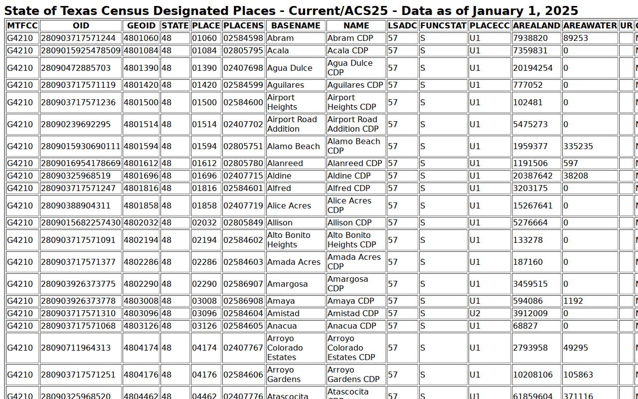
Compare the CDP view with the county CAD map and the document's record date. That three-part check prevents a Bell parcel, Coryell tract, city record, or federal facility from being assigned to the wrong custodian.
USPS's 2023 Postal Bulletin changed the preferred ZIP 76544 last line from Fort Hood to Fort Cavazos. Older records can use Fort Hood or Camp Hood. Preserve the form appearing on the record, then search the alias and county rather than silently replacing it.
Map Fort Cavazos Neighbors
Map an immediate block outward from one known address. Bell and Coryell CAD portals provide the parcel/account layer, while Killeen GIS supplies city layers and annexation context. The aim is to identify adjacent parcels and their public record routes, not to collect names. A whole-road history belongs with the Fort Cavazos street directory; a neighbor question stops at the surrounding parcels and the record type that applies to each one.
- Normalize the address with its street number, name, suffix, city label, county, and any available parcel or Geographic ID. Try the old Fort Hood or Camp Hood form only when the record date calls for it.
- Open the correct CAD or GIS map and inspect the road, adjoining parcel boundaries, lot or block labels, and map date. Record parcel IDs rather than copying personal fields.
- Query each civilian parcel separately in the applicable CAD. Compare its legal description, subdivision, and deed-history lead with the county clerk index if a dated transfer matters.
- For permits, plats, or annexation questions, ask Killeen or the correct custodian for an existing record by parcel and date range. Route an on-post location to the Army office instead.
Killeen's GIS annexation-history layer uses a Year_ display field. An annexation date can explain why a current city permit exists for a road that an older record treats as county territory. It does not change the county shown on a recorded instrument.
Fort Cavazos Parcel Records
For a Bell-side block, the Bell CAD eSearch accepts owner, address or street, Property ID, Geographic ID, and advanced business or DBA searches. Its help advises trying the whole address, then simplifying to street and number and dropping a suffix. A result can expose a Property ID, Geographic ID, map ID, subdivision, block, lot, land and improvement values, roll history, and deed-history references. That is enough to move from a map shape to a precise clerk search.
The inspected Bell sample card exposed roll-history years from 2016 through 2025, along with Property and Geographic IDs and deed-history fields. Those fields are a research checklist, not proof that a named owner is a current neighbor.
On the Coryell side, Coryell CAD eSearch accepts owner, street, property or geographic ID, tax year, subdivision, neighborhood, and other appraisal fields. Its FAQ distinguishes GIS mapping from ownership and value information. A missing parcel result should prompt a county, spelling, legal-description, federal-boundary, or older-record check, not a claim that the block has no history.
- Parcel ID
- The account identifier used by the appraisal district. It anchors the map and property-card search.
- Situs address
- The physical location on the appraisal record. It can differ from the owner's mailing address.
- Plat
- A recorded map that describes lots, blocks, streets, and subdivision relationships. A replat can alter labels.
- Legal description
- The lot, block, subdivision, metes, or other property wording that connects a CAD lead to a recorded instrument.
Follow a promising deed-history row into Bell County's official records index or the Coryell clerk route. Bell's search permits grantor or grantee, subdivision, document-type, document-number, date-range, and Index Only or OCR scope searches. A party on a deed can be an owner, trustee, lender, heir, or entity, so identify the role before drawing any block conclusion.
Note: The owner and mailing fields on an appraisal record describe the account, not a verified present household at the mapped address.
Fort Cavazos Neighbor Community Routes
No inspected official city source published a complete civilian neighborhood-association membership directory for the full Fort Cavazos and Killeen area. The appropriate public layer is a community label plus an agency contact route. For on-post areas, the Army community-services listing names communities but does not authorize resident targeting or expose a public member roster.
On-post communities
Chaffee, Comanche Village 1, 2, 3 East, and 3 West, Kouma, Liberty, McNair, Montague, Patton Park, Pershing Park, Venable, and Wainwright Heights are official service/community labels.
Installation route
Use the Army community-services office for a public service question or correct office routing. Do not infer a household address from a community name.
Civilian route
Use the applicable CAD, county clerk, Killeen GIS, planning, or city records route after confirming the parcel's actual jurisdiction and date.
The Army community-services listing is the source for those labels and agency routing. It shows why a named community is useful geographic context without being a directory of people.
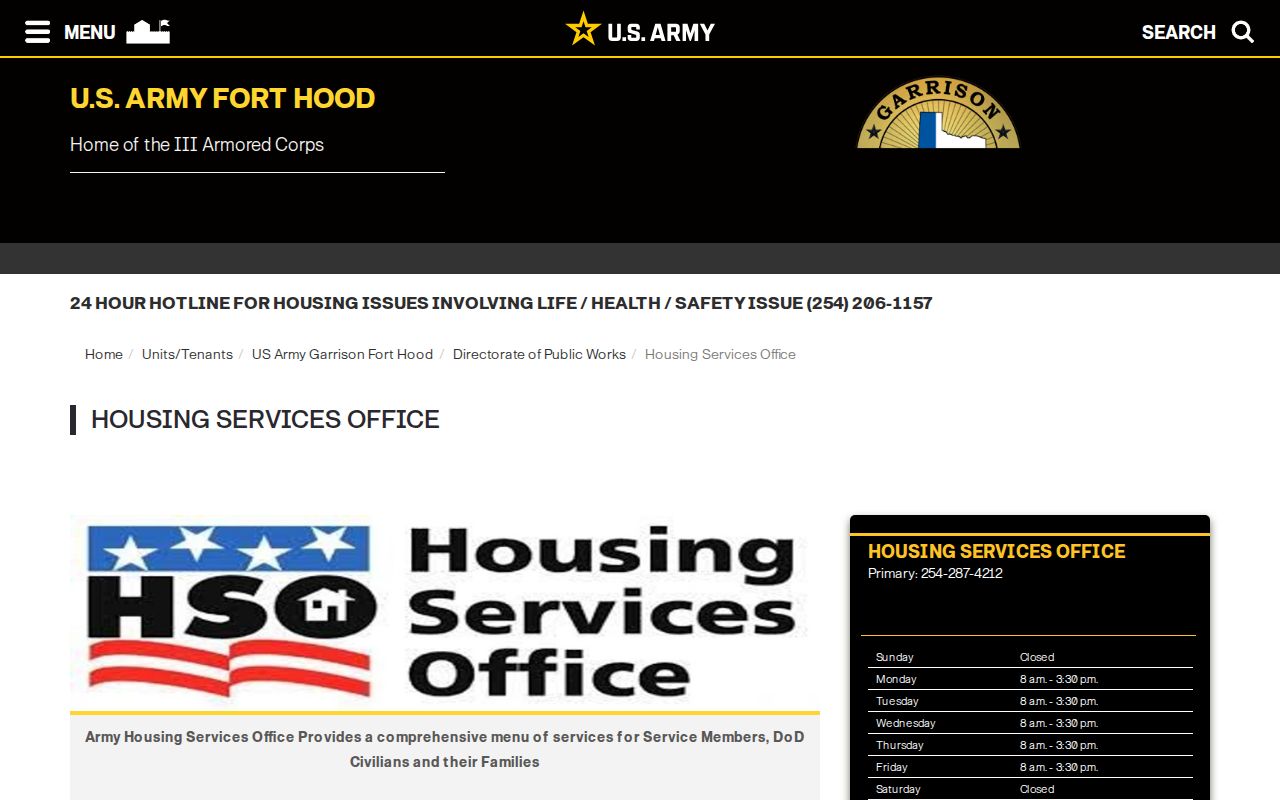
Use the displayed page to confirm the office channel for a community question. Keep household details out of the request, and use county or city records only for the narrow address record each custodian actually holds.
Fort Cavazos Neighbor Block Changes
Blocks around the installation do not have fixed city-service context. Killeen's Annexation History GIS layer shows year values, including early entries from 1883, 1920, 1948, and 1949. A 2025 Legistar item also records a 47.895-acre annexation near E Trimmier and Chapparal. These dates matter when a question concerns a municipal permit, planning record, code case, or street label.
Use the jurisdiction at the record date. A present-day city boundary does not turn an older county record into a city record, and a postal city does not establish municipal authority. Killeen Development Services and Building Inspections can route a current permit or inspection request. Older files may require a targeted public-information request, especially when electronic permit coverage does not reach back to the event date.
For a non-sensitive building-history question, name the address or parcel, record type, and date range. Asking for a final permit, certificate of occupancy, inspection result, or releasable plat reference is more accurate than asking for everything connected to a household.
A city code complaint is not proof of a violation, personal conduct, or current occupancy, and records may contain lawful redactions.
Fort Cavazos Neighbor Tools
Official records and commercial neighbor tools answer different questions. The official route ties each fact to a named custodian, record date, and limited record type. A commercial category may combine stale or mismatched data, omit the county split, and make its source trail hard to test. For a Fort Cavazos block, the public route is more useful because it forces the researcher to distinguish parcel adjacency, owner-of-record, occupancy, and community routing.
| Official record route | Commercial neighbor category | Safer reading of the result |
|---|---|---|
| CAD, GIS, clerk, city, or Army source with a county and date | Combined profiles with unclear refresh or source coverage | Confirm jurisdiction and use the original custodian record |
| Parcel ID, plat, legal description, or dated instrument | Address association without a shown record role | Treat adjacency as geography, not proof of a household |
| Scoped public-information request for an existing record | Broad personal aggregation | Ask only for the specific releasable document needed |
The VoteTexas My Voter route is for a person's own status or polling-place check, not a neighborhood list. Texas voter files can contain protected fields, and address confidentiality can suppress information for eligible people. Voter registration and participation do not establish present occupancy or reveal a vote choice.
Note: Use a source that names its custodian, record date, and scope before treating any block-level fact as reliable context.
Fort Cavazos Neighbor Limits
Neighbors are not a public list. Private household details, protected voter information, utility customer data, delivery information, and sensitive military data are not a block-level research product. Texas public-information law leaves confidential information protected, and public availability of one recorded field does not make it appropriate to join unrelated records into a personal profile.
Texas confidentiality guidance recognizes protected voter categories, including eligible military and other protected people. Texas Government Code Chapter 552 also maintains confidential exceptions, while motor-vehicle information has separate protections. If a parcel or map result raises a safety concern, stop at the custodian or lawful safety channel instead of looking for a more detailed private address.
Lawful use. Fort Cavazos neighbor research is limited to lawful personal, civic, and property-context questions. Do not use a parcel map, voter information, or community label to watch, harass, intimidate, or target any person.